 |  |
 |  |
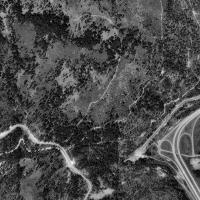 | 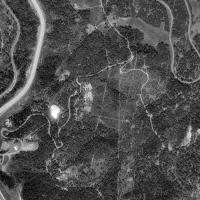 |
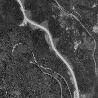
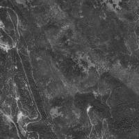
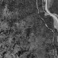
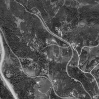
A series of six photos (placed in a table) to show USGS satellite photos of the Siskiyou summit circa 1993. The rail line runs parallel to I-5, which is the wide white line in the picture. It crosses over I-5 once and climbs higher until it disappears into the mountain at tunnel 13, the main freeway exchange you see at lower left. Can you find tunnel 14, 13?
View Larger Map
| Home |
All photos were acquired from www.terraserver.com © for show only here
this site owned and maintained by R.Wrede, © all rights reserved.